Preserving a History of Digital Mapmaking: Inside the Geospatial Software and File Formats Documentation Web Archive
In this interview, Tim St. Onge and Meagan Snow explain how web archiving is preserving documentation essential to understanding the evolution of modern cartography. They outline the motivations behind the Geospatial Software and File Formats Documentation Web Archive, describe their curatorial approach, and highlight the collection’s value for both current and future researchers. This is part of a series highlighting new collections in the Library’s web archives and the behind-the-scenes work that goes into creating them.
Tracee: Hello, Tim and Meagan. First, let’s introduce you to the readers– what is your job at the Library of Congress, and what was your role in creating the Geospatial Software and File Formats Web Archive?
Tim: I am a Cartographer in the Geography and Map Division. My work includes mapmaking by Congressional request, as well as supporting various geographic information systems (GIS) projects around the Division and Library, from helping Library staff produce StoryMaps and map datasets relevant to their collections, to advising colleagues on new acquisitions of digital geospatial materials. For this web archive, I served as a reviewer, researching online resources relating to the history of geospatial software and file formats and making web site selections.
Meagan: I work as a Geospatial Data Visualization Librarian in the Geography and Map Division, where I get to work in collaboration with Tim on the mapping projects he just described. I also recommend geospatial materials for addition to our permanent collections, such as datasets or physical materials documenting the history of computer cartography. Much of my work is geared toward making sure our patrons have the ability to discover, access, and utilize those geospatial collections. On the digital side, our collections range from yearly extracts of OpenStreetMap to legacy GIS software, like ArcView 1.0 from 1991 on floppy disk. We know that patrons now and in the future will need the documentation that goes along with spatial data formats and geospatial software to make the most of this material. I’m a reviewer for this web archive, which means I nominate and approve web sites to be added to the collection.
Tracee: Can you briefly describe the collection?
Tim: The goal of the Geospatial Software and File Formats Documentation Web Archive is primarily to ensure the long-term preservation of web materials which relate to GIS software and spatial data file formats. Gone are the days of getting software on a CD, accompanied by a thick booklet of documentation and instruction. Geospatial software companies and organizations now simply publish their documentation online and often only keep documentation available for the most recent version of their software. Given that one of the Geography & Map Division’s goals is to document the evolution of computer cartography and geographic information systems, it is part of our mission to capture how this geospatial software is changing over time. The same applies to file formats standards or specifications that are specific to the geospatial community, such as shapefiles, geodatabases, and geopackages. Setting up a web archive specifically to capture this type of digital content allows us document and preserve today’s file standards for future researchers.
Tracee: How did you select material to archive? Did you have any specific goals or considerations in mind when nominating content?
Meagan: We generally relied on our own experiences working in the geospatial field for many years to help determine what to capture. Our primarily goal is to capture the full range of software that is most commonly used by GIS researchers, analysts, and practitioners, as well as the range of file formats they encounter. We also want to make sure that the geospatial file format types represented in the Geography & Map Division’s digital geospatial collections are represented, and we know those evolve over time. We already have files types in our geospatial collections that are considered legacy formats without full (or any) support in current geospatial software programs. We want to ensure future researchers who utilize our digital collections have as much information as possible about older file they may never have encountered before or which software may no longer support.
Tracee: What are some of the highlights?
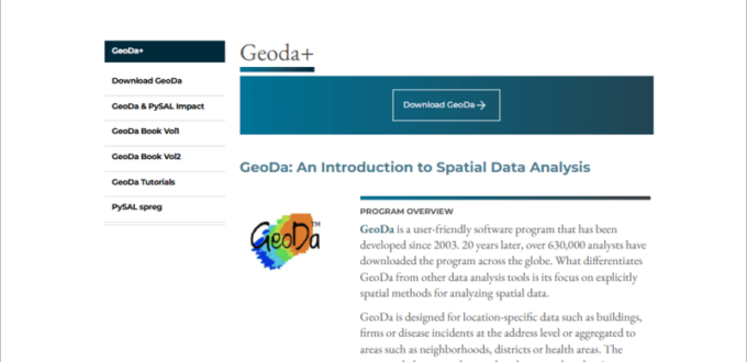
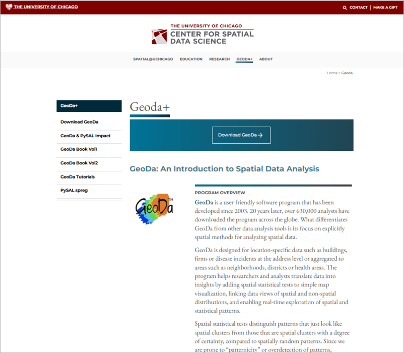
Tim: I would like to highlight the documentation for GeoDa, which is an open source spatial statistics and analysis software program developed since 2003. While there are certainly more well-known and expansive GIS software programs out there, GeoDa has served an important role in the GIS community in advancing the study of statistics applied to geographic space. A reader may be confident they can take a glance at a map and identify important clusters of data points or “hotspots” of a certain phenomena, but analytical tools like those pioneered by GeoDa apply a statistical rigor to these determinations that minimizes human map-reading bias and helps researchers understand spatial data patterns in new ways. I myself have been fascinated with these kinds of tools for years and I’m happy we can capture much of the technical knowledge behind GeoDa in this web archive.
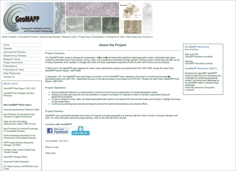
Meagan: My current favorites are some of the one-time captures we were able to make of 2010s-era websites for geospatial data preservation efforts, such as the Geospatial Multistate Archive and Preservation Project (GeoMAPP). These early efforts to think through how to preserve geospatial data are now themselves disappearing. We’ve been able to capture what we could in our web archive so that geospatial researchers and preservationists of the future will be able to better understand the history of geospatial preservation efforts.
Tracee: What challenges have you faced in creating this collection?
Tim: Overall, creating this collection has been a positive experience and the process has not been too difficult. I would say the biggest challenge has been making decisions about what content to prioritize for collection, in order to keep the collection’s scope manageable. This relied on our cumulative experience in the geospatial field to determine what is most vulnerable and most likely to be valuable in the future.
Tracee: Why do you think web archiving is important for documenting this subject? How do you imagine researchers, now or in the future, might use this web archive?
Meagan: Maps as products are always shaped by a few different things, including the data represented on the map, the symbology and design choices of the cartographer, and the available technology for making maps and the technology’s limitations. We believe that scholars of the future will eventually want to understand how maps were made today, and part of that research will be understanding what types of functionality software offered and what file formats made possible.
Tim: There are many materials in the Geography & Map Division that document the history of analog cartographic methods, such as copper plate etching for map printing and sketched experiments with hachures for depicting topography. This web archive is an extension of that type of collecting work that’s focused on digital mapmaking methods, which is part of the long history of cartography. For digital materials, the nature of the software and files themselves require that preservation is accomplished through web archiving.
Source of Article